Our Journey began not far from where we left off, but with more light and a pledge not to scramble up any crumbling dirt cliffs. We looked once more back at the cove of singing rocks that where so much grief had befallen us a few days previous. The tide was ~ 3 feet higher now than at the end of our Wednesday journey and much of the route we had taken was very much under water. Today I felt confident that we could stay along the coast for most of journey.
 |
| The cove once again. |
Applying SUnblock we were treated to the sound of thousands of cobbles crashing over one another in the waves. Their chatter with every outgoing wave a sort of rhythmic music. I would however, not want to be in waters capable of throwing those stones with such ease.
 |
| I promise not to take you over this fence. |
So the first leg of our journey would have been impassible even in the lowest of tides. It was interesting enough to walk this street (Dolphin way) that doesn't seem to get much traffic. It seems like there was a "beach access" every 100 yards here, though some of them didn't lead to particularly continuous sections of beach.
 |
| The manner in which the waves crashed over these rocks is hard to describe |
 |
| Yep It's Bird rock! |
 |
| Anita snapped this nice peek-a-boo view of the way north. |
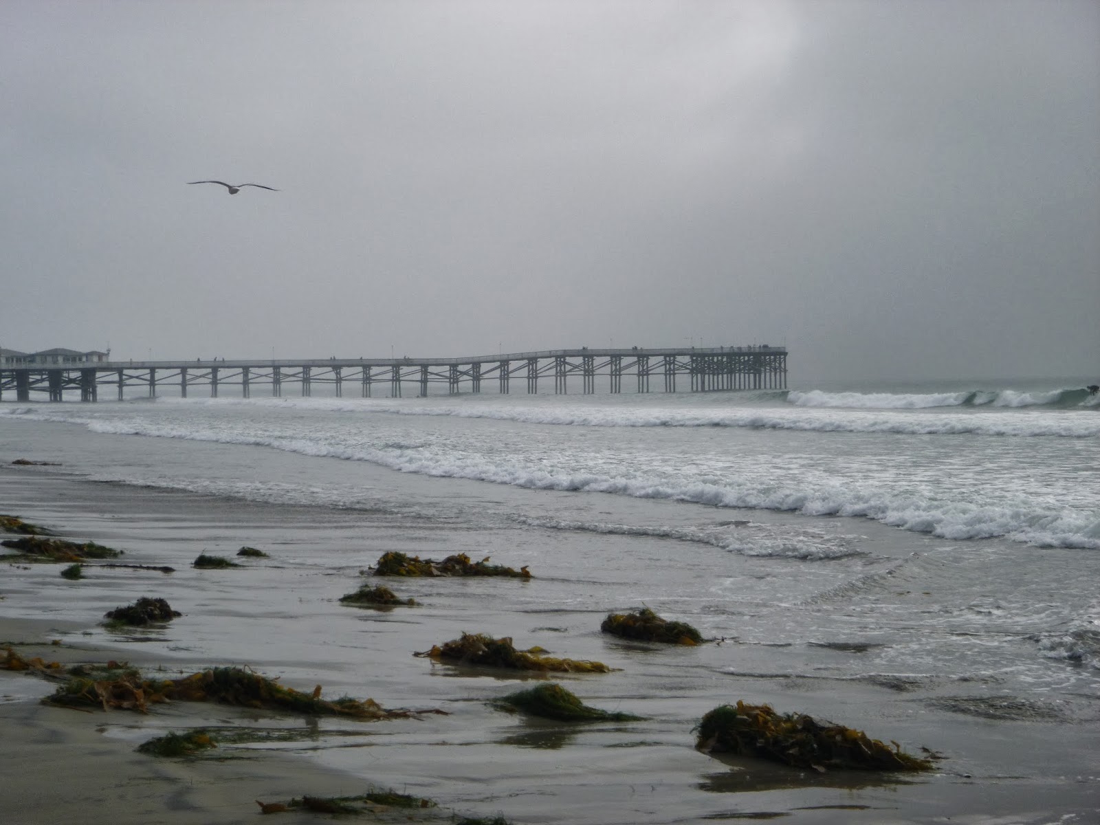
Finally we found our way to a place where the coast became continuous again. Despite having lived here ~ 5 years and driving past bird rock many times and hearing about it many more, I have never seen the actual rock. I understand it to be popular with a certain contingent of surfers for it's distinct point break and indeed there were a few surfer types attempting to get a a good wave there. The rock itself is indeed covered with birds and their excement, yet after our experience in La Jolla Cove I could barely smell it. Looking down the coast I could begin to believe that it would get less rugged for awhile
 |
| Last chance to look north before rounding the point. |
From here to Tourmaline Street Park, it was rugged going, though nowhere near what we had been dealing with the previous two legs of our journey. It was all boulders, cobbles and retaining wall bits of various sizes and shapes. In some places there had been maintained a a de-facto trail. In others, however it was. One of the things We've been getting a real sense of lately is the great multitude of coastal defense structures that one might build for their home. Some certainly have a nice aesthetic and blend in better than others. Others are just plain odd. Some were easier to get around than others. there was one wall that jutted far enough into the ocean that we had to time our journey to dodge the waves. Or one where the staris that would have allowed us to wander along the topside were so eroded and algae covered that we did not dare climb. I think my favorite was a Cement wall that looked like a bunch of giant sandbags.
 |
| Riding the waves |
 |
| A lovely shaded picnic spot amid the rip rap. |
 |
| The Giant Sandbags. |
As we were passing by Calumet park, the boulders, retaining walls and rip rap gave way to unconsolidated fist-sized cobbles. It may look blissful, but this was actually the hardest and slowest going of the day. All the rocks were just a little larger than my foot and not a single one was stable, so they were constantly sliding out from under our feet. This would be a great place to get a twisted ankle. Also the cliff was only a few feet from the breaking waves in this stretch and the waves carried more rocks so it always felt like we were facing danger from above and from the sea. This would be really gnarly during a storm.
 |
| Anita negotiates the treacherous cobbles of Calumet Park |
 |
| Looks like a job for Roto Rooter. |
After the cobbles we came upon a stretch I like to call "The ruins". Here several attempts to shore up the foundations above were succumbing to erosion and the wreckages was everywhere.
Rounding the last point of the Bird Rock neighborhood, were treated to several sights: The Crystal Pier of PB, This stunning rock face, and the broad sandy beach below it. Relief was in sight! We passed by what must have been some sort of surf camp along the cliffs strangers in a strange land, and then a large mat of detritus. And then we were on sand once again for the rest of our day.
 |
| The Geology in this cliff face is nothing short of stunning. I want to use this to teach a class someday. |
 |
| A lone Pillar |
 |
| Another perspective |
 |
| The Soft sediment deformation is truly spectacular |
 |
| Such rich geometry |
 |
| Another View |
 |
| Tower 28 |
After a breathtaking tour of the geology as expressed in the cliffs we took a break at Tourmaline Street Surf park, apparently one of the best places in the city to learn surfing.
 |
| Surfers practicing their sport |
 |
| I liked this Mural |
 |
| Anita and I at Tourmaline street surf park. |
Pacific beach is typically the domain of the party at the bars with the bros till 2 am and then back to the shack and party till you fall in the sack sort of beach town. Not exactly the crowd I run with these days (did I ever?). In summer the vacationers fill the beaches with their sweaty bodies. There is good food and good bars here among the bustle, and I even recall fondly the friends I knew who worked here at one time or another. What I am trying to say is that I don't usually go here when I want Beach. Today were are here in cooler fall weather and the beach is nearly empty. We wandered out to Crystal pier and were treated to few moments of sunshine on an otherwise very foggy day.
 |
| Tower 27 |
 |
| Tower 26 and 1/2. |
 |
| Crystal Pier! |
 |
| Tower 26 in 3-d |
 |
| Crystal Pier from below |
 |
| Anita is my sunshine |
 |
| The Joggers are an integral part of PB culture. |
 |
| PB street scene on a quiet day |
 |
| Looking north from where hence we came |
 |
| Anita's face Shimmers in the light |
 |
| The gloom out to sea |
 |
| Looking south into the mists |
There are lifeguard towers and then there are lifeguard stations. These things are pretty elaborate and I can only imagine the kind of sea rescues they must perform during high season. I also imagine there's a bit of enforcement happening here. The towers are spaced relatively closely and their numbers descend as we head south toward MB.
 |
| A super lifeguard station. |
 |
| Tower 25 |
 |
| Crystal pier once fades back into the mists |
 |
| Octopus! |
 |
| Tower 24 |
 |
| Colorful storefronts. |
The Border between Pacific Beach and Mission Beach is not obvious say compared to the La Jolla - PB boundary, though those who know this area better insist on a distinction. I'd define Mission beach as more a neighborhood of beach rental houses, many of which are likely unoccupied during the off season. The sand gets just a bit wider. This was once part of the greta mouth bar of the San diego river, Rose Creek and Tecolote, before the construction of Mission Bay. Still it is a land of shafting sands and will likely be one of the first casualties of sea level rise.
 |
| Anita Got this great one of surfer heading home |
 |
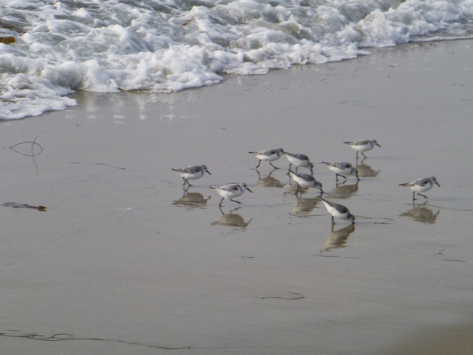
This Seagull is a total Jerk. He'd wander around bullying all the other seagulls
when they tried to share in the spoils |
 |
| These guys play nicer together |
 |
| The haunted beach house |
The rental houses have a certain sort of architecture that puts outward appearance over function, as though they want to communicate "fun" and "relax" and "Chill out" in a way that can either be inspiring or just plain old tacky. We made a quick pace down this portion of the shore, being as it was flat and the cool weather and wind at our backs. Every now and then we'd pass a surf school class or a flock of birds. When the crowds die down, wildlife returns quickly. Then there are the seagulls, sort of large winged rats that now live for human detritus. Here they are agressive, obnoxious and will probably die out not long after humanity leaves this portion of the planet
 |
| Tower 23 |
 |
| Tower 22 |
 |
| Curious architecture |
 |
| 21 |
 |
| 20 |
 |
| 19 |
 |
| 18 |
 |
| Surfboard house at tower 17 |
 |
| Looking back again into darkening mists. |
 |
| Tower 15, somehow missed 16. Belmont park in the background |
The Heart of Mission Beach is probably Belmont Park, the little beachside amusement park and entertainment complex. This also where the road from Sea World comes in from the east. South of here it's a cul-du-sac, probably worst place to be in the event of Tsunami, but a lovely walk all the same.
 |
| Tower 14 |
 |
| Tower 13 |
 |
| Sun barely making it through |
 |
| When rats grow wings they will have to contend with these guys for dominance of the skies. |
 |
| Tower 12 |
 |
| Tower 11 |

We were growing tired as we approached the tip of the little peninsula And it was with relief that we sighted the Mission Beach Jetty. On a previous outing we once scrambled our way out to the very end. It may not look particularly long, but when you're hopping from rock to rock the going is slow and tower at the end is much larger when you're up close.
 |
| Last super station |
 |
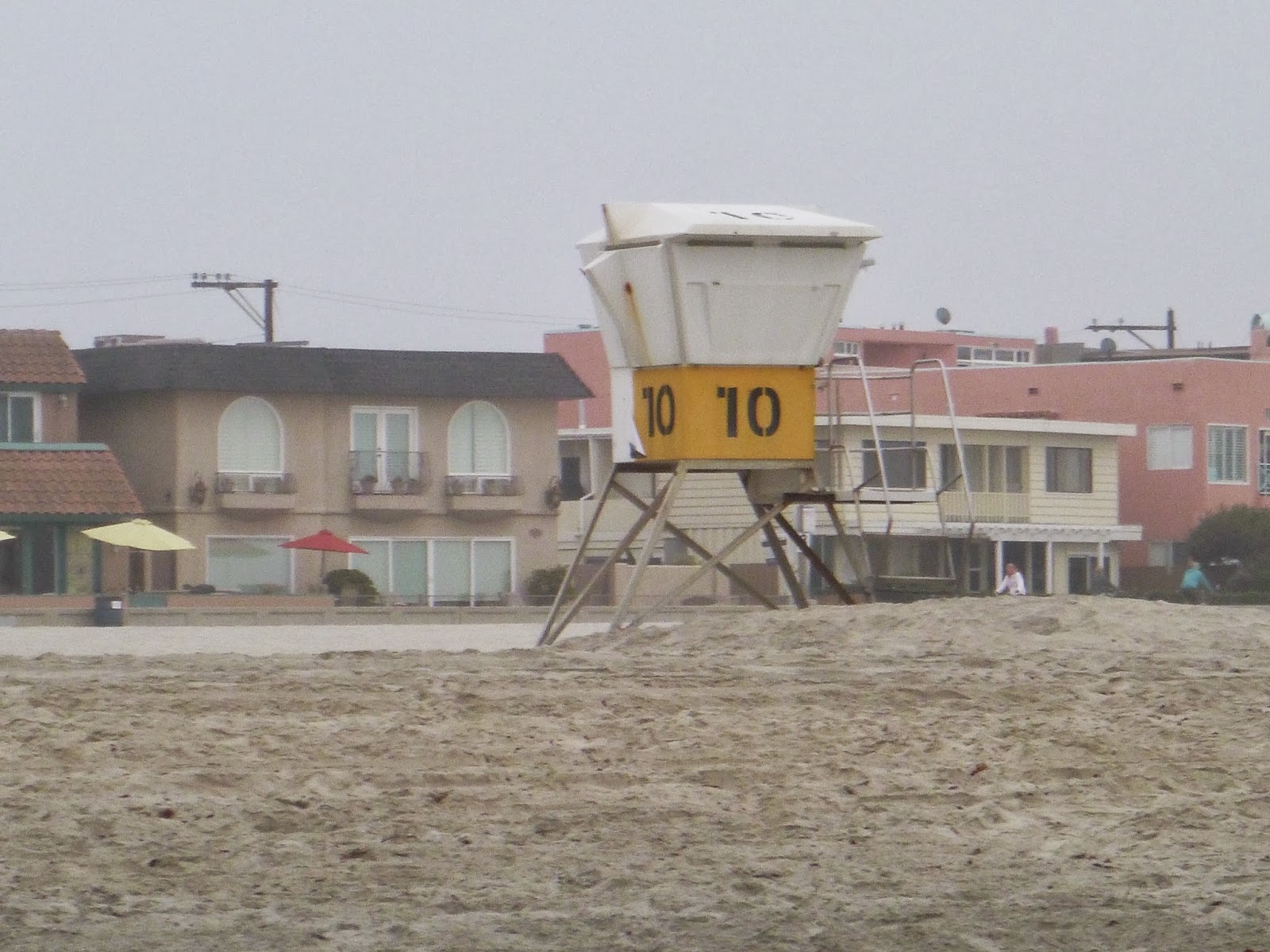
| The fabled "Tower 10" |
 |
| The Jetty! |
 |
| And we can go no further south from here |
 |
| Unless we have a boat |
 |
| The tower in the distance |
 |
| And here is us! |
We had about a 3/4 mile walk back to the nearest bus stop, and two separate busses to get us back to where we parked. We had other plans for the remainder of the evening but rest superseded that. This was likely one of our longer walks since the first leg of the journey and we are due for a few more of these as we head south. Our legs are getting stronger and I do feel a bit healthier


